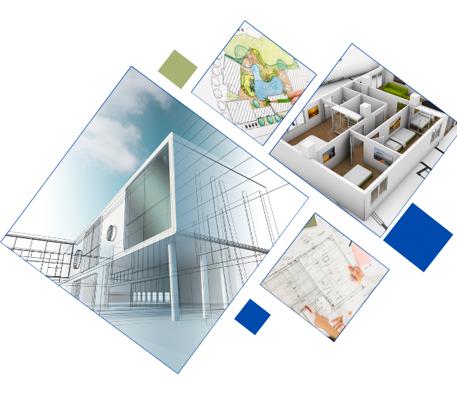
Transforming your ideas into reality with precision CAD services
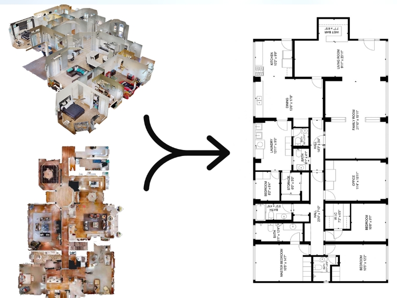
Paper to CAD | Raster to Vector |
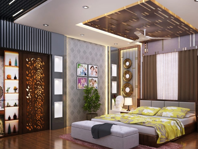
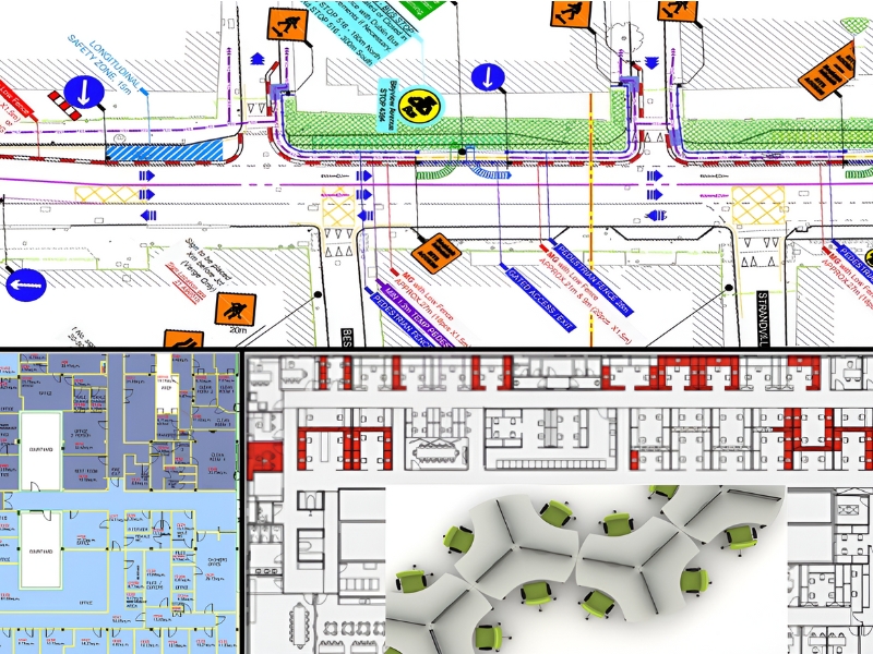
Architecture cad drafting | Scan to cad conversion | Space Management|
Space Planning
Crafting the Future: Innovative CAD Design and Drafting Services
Develop, alter, and optimise your designs more quickly and efficiently.
0+
years of sustained growth and innovation
0+
projects acompolished
Authorised User of
Over the past 17 years, we have consistently provided top-level outsourcing CAD services to clients in the building services industry.
Caddhawk was founded in 2004 to provide outsourcing CAD services to consulting Engineers, Architects, Mechanical and Electrical contractors in the building services industry.
Discover our cutting-edge CAD design and drafting services, revolutionizing how engineers conceptualize intricate designs. With a substantial track record of collaboration with 37 esteemed European companies, we have settled ourselves as a distinguished leader in CAD outsourcing.
We are passionate about empowering our clients with the tools they need to excel in their fields. Our CAD solutions are of superior quality and cost-effective worldwide. Read More